The month of December is pedicted to bring more transparency in the country’s realty sector with the introduction of 3-D Mapping of properties. Aerial System drones will be used to serve the purpose. As estimated by the experts, this step will encourage the accountability and transparency of the sector.

December 1 onwards, drones will be used legally for commercial purposes, as per the DGCA norms that have been announced recently. These unmanned drones were brought to the public eye in the previous month by the Minister of Civil Aviation. The regulations have restricted the delivery of food items and payload via drones.
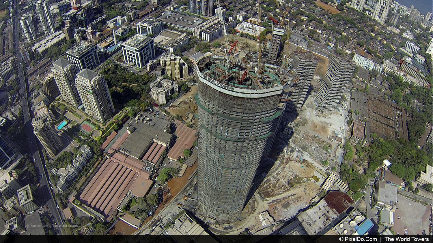
A PwC Survey conducted recently, has shown how effective and popular has the use of drones become in the Real Estate sector. These powerful and innovative tools have made the drawing of three dimensional maps easier and that also, in a detailed manner. These 3-D maps of buildings will include the vital aspects such as the number of floors, built-up area, etc. Thus, both the developer and buyer will get a realistic documentation of the property.

Rules Regarding the Operation of Drones
- The operation of drones is restricted for the night.
- They will operate latet at the height of 400 feet above the ground.
- The drones in the micro and nano category will not have to be registered.
- No permission for flying in zones like military installations, airports and State Secretariat complexes.
The developers feel that the operation of nano drones will open up new ways to alleviate the harshness of the past experiences of home buyers. Besides, the videos produced through this method are appropriate for them to exhibit the views from the higher floors and the project’s horizon, as real as possible. A customer would easily get attracted by such dramatic sight and think twice over a property.
Therefore, it is indeed a potential marketing tool for the builders to enrich the experience of the customers as they will be able to see the videos on the online portals.
The developer too, will benefit from the use of drones as these will help in monitoring the different stages of construction thereby, allowing smooth management of resources. On the other hand, the data gathered in the process can be used by the developer to show the level of progress to the buyer by comparing the ongoing work with the original plans.
Wasn’t the reading helpful? Whether in search of 3 bhk flats in Kolkata or want some assistance in selling your house, Transventor Property Management has a way out for you.


